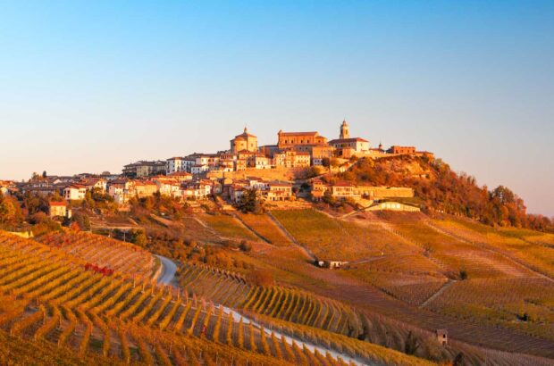
Spanish researchers have developed computer software that can identify grapevine cultivation from satellite images, enabling scientists to calculate the potential wine production of an area under cultivation.
Previously, the area of vineyards was determined by tracing the borders of each plot by hand on photographs.
The new software is based on computerised analysis of digital images taken by a Landsat satellite.
Developed by researchers from the University of León and the University of Santiago de Compostela the new system has already been successfully used in the El Bierzo area of León.
The software applies a series of algorithms to analyse the photograph pixel by pixel, identifying different types of surfaces –from vineyards to roads, forest and irrigated land.
The software can also differentiate between three types of vineyard – recently-planted ones, those with a ground density of less than 35%, and those with a density in excess of 35%, the researchers claim.
The study was published in the Spanish Journal of Agricultural Research.
Written by Emmet Cole


